Satellite Imagery
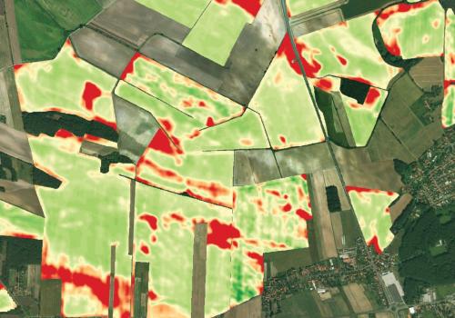
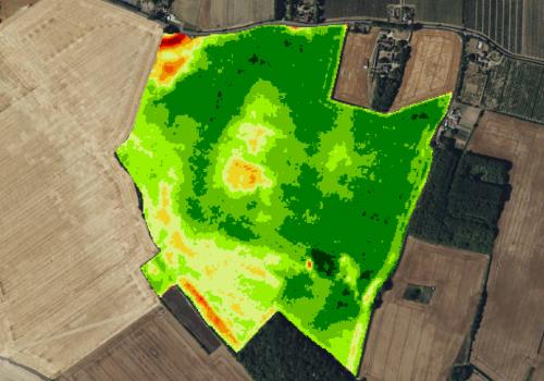
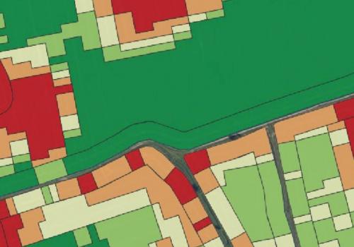
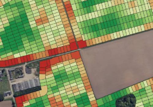
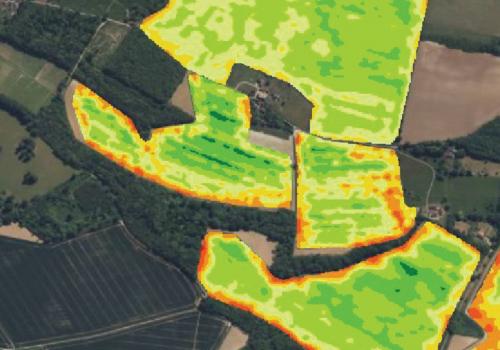
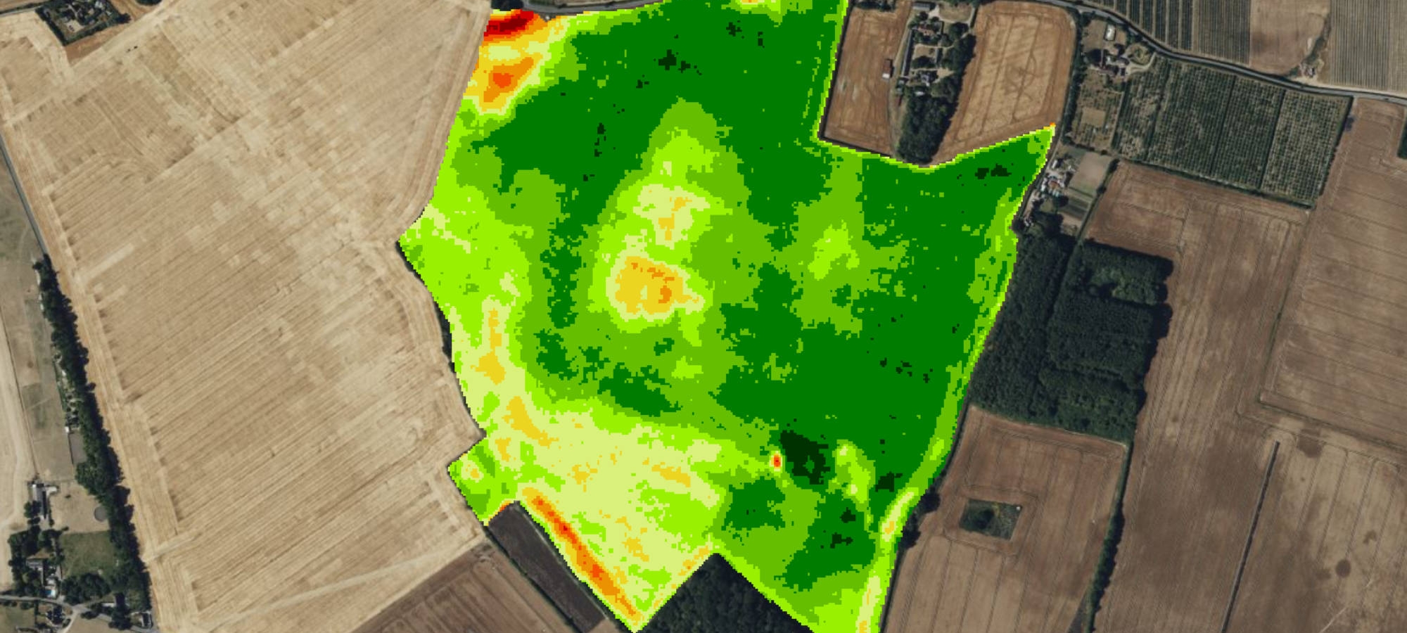
Monitor crop growth and health for better, more informed decision-making.
A range of imagery services automatically delivered to your account for use in crop monitoring and variable rate applications.
The benefits you can expect from satellite imagery:
- Improves crop profitability, yield and quality, through targeted application of inputs
- Identifies crop stress, nutrient deficiencies, and waterlogging for timely intervention
- Enables early detection of pest and disease outbreaks for easier management
- Supports precision farming practices for efficient use of inputs and machinery
- Enhances sustainability by reducing environmental impact and improving soil health
Satellite Imagery is one of an ever-expanding suite of apps available within SoilSmart - the online precision farming portal, giving you the opportunity to monitor and manage your crops and fields more effectively.
'A powerful tool that gives me a bird's eye view of crop growth. It saves me time, and enables me to walk directly to any problem area.'
- Standard Soil Sampling
- Precision Soil Sampling
- Lime Application
- Satellite Imagery
- Variable Rate Application (VRA) - Nitrogen
- Variable Rate Application (VRA) - Seed
- Historic Potential Index (HPI)
- Mapping Crop Yield
- Soil Scanning
- Potato Cyst Nematode (PCN)
- Soil Mineral Nitrogen (SMN)
- Carbon Sampling
- Zone Sampling