Soil Scanning
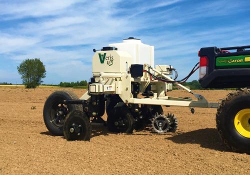
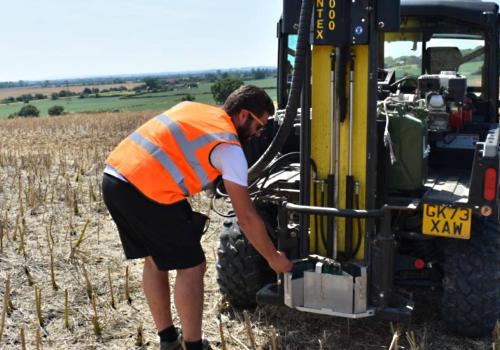
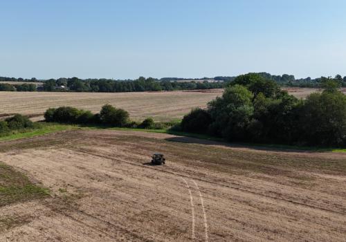
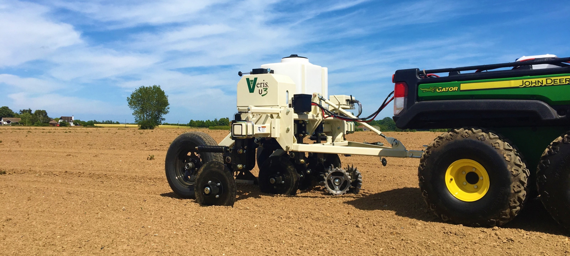
ACS Farm Image can provide affordable and precise on the go soil scanning, using the UK’s first Veris U3 in field scanner imported from Veris Technologies.
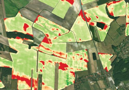
Mapping your field’s major physical, biological and chemical properties: pH, Organic Matter, Electrical Conductivity and Topography to help you manage each hectare to its full potential. The new soil sensor solution is designed to help increase profitability by removing errors in alternative precision management zones.
pH
Soil pH has a significant impact on nutrient availability, microbial activity, nematode populations, soil herbicide efficacy and much more.
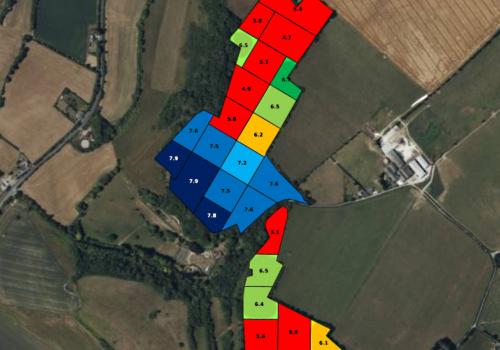
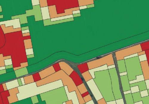
Soil pH is mapped using the Farm Image Smart Scanner’s in-field sensing with ruggedized pH electrodes resulting in more samples per hectare and a better return on lime investments.
Smart Scanner pH map

Organic Matter
Soil Organic Matter (OM) is a critical soil property. Each % of OM can hold over 94,000 litres of water/ac and mineralise 9-18 kgs/ac of nitrogen. Because it is formed slowly over time, it is an excellent indicator of historic soil productivity.
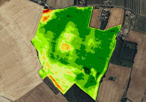
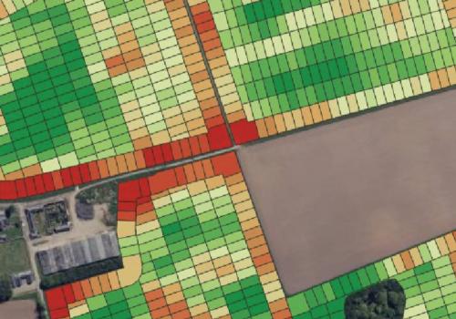
Soil Organic Matter is mapped using the Smart Scanner’s infrared soil optics. Darker soils contain more organic matter than lighter soils. The Smart Scanner measures below the soil surface to help ensure accurate readings. Sensor quality is high, with over 80 scans per acre and zones of contrasting soils are clearly evident.
Smart OM map

Using the Smart Scanner’s OM maps:
Farm Image’s OM Smart Map can be used in many ways including the following:
- Variable seeding
- Improved nitrogen management
- Variable irrigation
- Variable soil herbicides
- Site-specific gypsum as well as other applications
- Yield and crop image interpretation
- Directed manure applications
Soil Texture (EC)
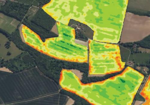
The Farm Image Smart Scanner maps soil texture by analysing soil electrical conductivity (EC). Fine-textured soils conduct better than coarser soils. Proven EC arrays penetrate throughout the rooting zone.
Smart EC map

Soil texture, the amount of sand, silt and clay, is directly related to water holding capacity, nitrogen use and loss, and is the primary driver of productivity. Farm Image EC Smart Maps can be used for zone sampling, variable seeding, improved nitrogen management, variable irrigation, variable soil herbicides, salinity remediation and more.
Topography
The lay of the land affects water infiltration, drainage, nitrogen and soil loss. Severely sloping soil can exhibit reduced productive potential, often due to topsoil loss. Concave, or bowl-shaped areas can be poorly drained, especially if they also contain clay soils.
Topography is one of the most visible field properties and should be included with soil data in many variable rate applications, especially those involving water and nitrogen.
Topography and Curvature Smart Maps
Farm Image Smart Fusion Maps

The Farm Image Smart Scanner shows its full worth in its ability to offer specific fusion maps for the following purposes:
Precision Sampling- fusing Soil EC, OM and Topography into appropriately sized zones for soil sampling. The algorithm examines the variability found in soil EC, OM, as well as field slope and curvature in order to generate zones that capture the most significant soil variations. The resulting zones contain unique yield environments and are ideal for nutrient management such a P and K.
Precision Seed - fusing Cation Exchange Capacity (CEC) readings with OM into appropriately sized zones for variable seeding. The algorithm generates zones that contain unique soil combinations, an ideal map for creating seed population prescriptions.
Precision Seed - T- fusing CEC, OM and topography into appropriately sized zones for variable seeding. For example, depressional areas with heavy clay soil could receive higher seed rates in anticipation of emergence issues. Or eroded side slopes where topsoil is thin could receive an even lower seed population than where that soil type lies on flatter ground.
iNseason Sampling - fusing soil EC, OM and topography into loss risk zones for nitrogen soil scouting sampling. The algorithm identifies the areas most susceptible to various causes of N loss. The resulting zones contain unique nitrogen activity environments and are ideal for improving N management.
PrecisionpH-IDC - fusing soil pH, EC, OM and topography into risk zones for iron deficiency chlorosis (IDC). IDC can cause significant yield loss in high pH, heavy clay soils in depressional areas due to lack of plant available iron. Applications of chelated iron can prevent this yield-robbing condition but can waste money when applied to areas of non IDC risk. The algorithm identifies the areas most susceptible to IDC and ranks them for levels of IDC risk.
Precision Pays!
Savings potential: immediate reduction in expenses
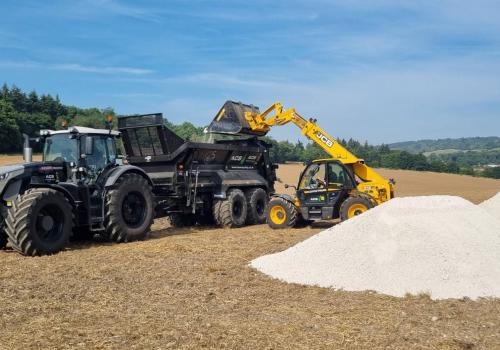
A single blanket rate applies inputs where they are not needed. For each of the variable management strategies outlined, variable rate lime, seed and nitrogen, there is money to be saved by applying inputs at the correct rate and in the right place. Lime won’t pay when soils are already above 6.5 pH. Overpopulating lower productivity soils wastes expensive seed. Blanket applying high nitrogen rates to higher OM soils, is not only a waste of money, but may also cause significant environmental harm.
In addition to the savings potential, applying the correct amount of lime and challenging more productive soils with higher populations will likely lead to improved yields.
- Standard Soil Sampling
- Precision Soil Sampling
- Lime Application
- Satellite Imagery
- Variable Rate Application (VRA) - Nitrogen
- Variable Rate Application (VRA) - Seed
- Historic Potential Index (HPI)
- Mapping Crop Yield
- Soil Scanning
- Potato Cyst Nematode (PCN)
- Soil Mineral Nitrogen (SMN)
- Carbon Sampling
- Zone Sampling