Historic Potential Index (HPI)
A quick cost-effective solution to map historic field variability.
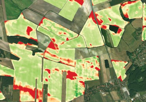
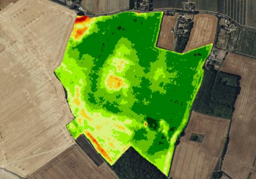
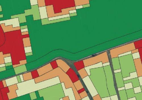
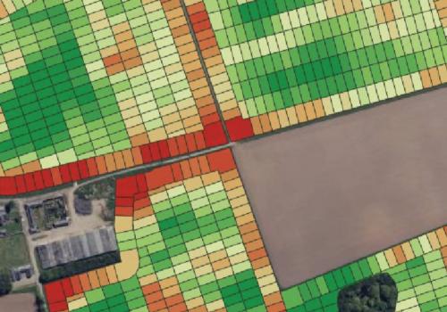
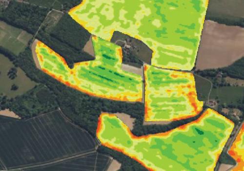
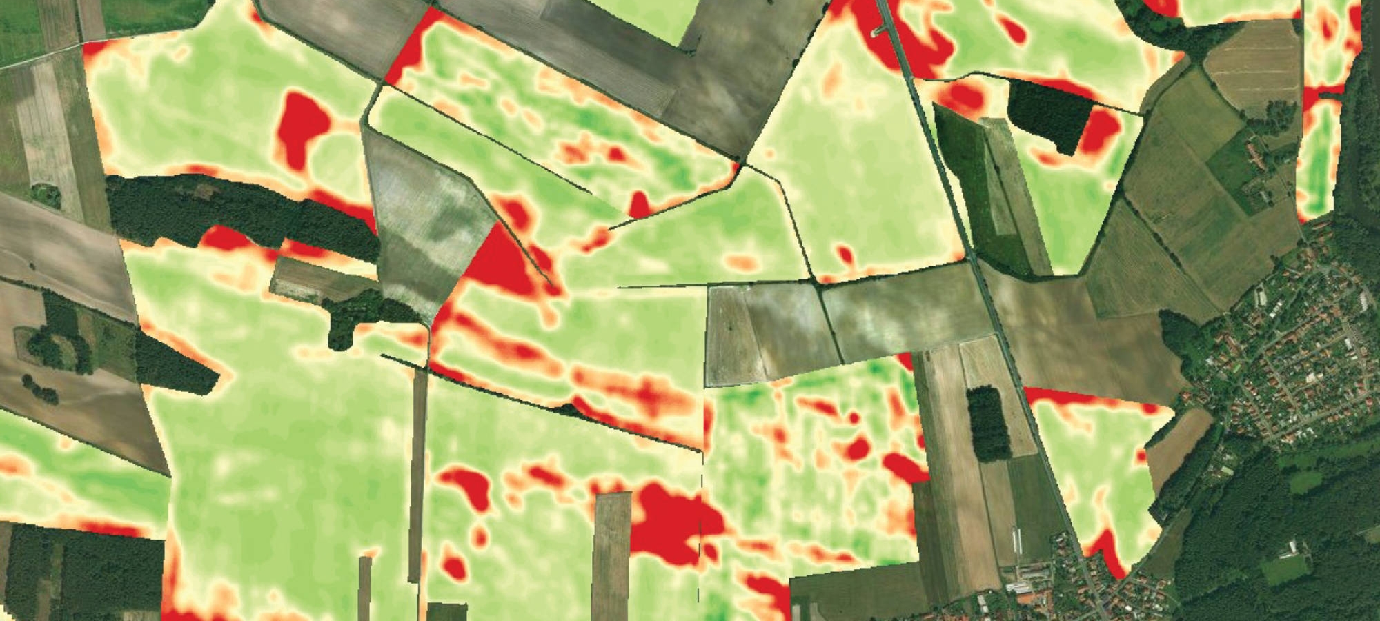
Understand your inherent field variability by combining multiple years of historic imagery to produce a map of field productivity.
The benefits you can expect from using an HPI map:
- Integrates multi-year imagery to map historic soil and weather related field variability
- Provides a quick and robust estimate of field variability
- Identifies the changes in yield potential across the field
- Enhances decision-making for crop management, soil analysis and VRA
- Provides valuable insights for long-term farm planning and management
HPI is one of an ever-expanding suite of apps available within SoilSmart - the online precision farming portal, giving you the opportunity to monitor and manage your crops and fields more effectively.
'The HPI map provides a simple, clear way to view field productivity over the years in a single image, making it an easy starting point for precision farming'
- Standard Soil Sampling
- Precision Soil Sampling
- Lime Application
- Satellite Imagery
- Variable Rate Application (VRA) - Nitrogen
- Variable Rate Application (VRA) - Seed
- Historic Potential Index (HPI)
- Mapping Crop Yield
- Soil Scanning
- Potato Cyst Nematode (PCN)
- Soil Mineral Nitrogen (SMN)
- Carbon Sampling
- Zone Sampling